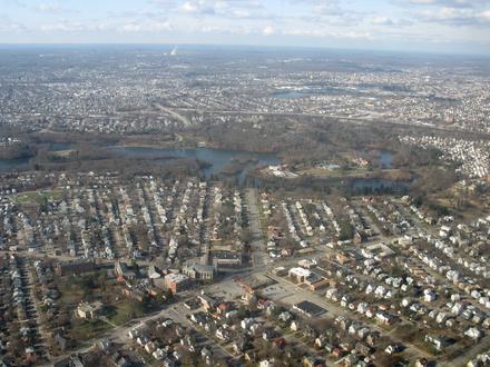
| Meshanticut, 羅德島州地区 | 0.479平方英里 |
| 人口 | 2231 |
| 男性人口 | 1067 (47.8%) |
| 女性人口 | 1164 (52.2%) |
| 从1975到2015的人口变化 | +12.2% |
| 从2000到2015的人口变化 | -0.4% |
| 年龄中位数 | 49.2 |
| 男性平均年龄 | 47.1 |
| 女性平均年龄 | 51.2 |
| 本地时间 | 星期日 01:57 |
| 时区 | 北美东部夏令时间 |
| 經度與緯度 | 41.76677° / -71.46895° |
Meshanticut, 羅德島州人口
1975年到2015年Sources: JRC (European Commission's Joint Research Centre) work on the GHS built-up gridMeshanticut从2000到2015的人口变化
从2000年到2015年下降0.4%Sources: JRC (European Commission's Joint Research Centre) work on the GHS built-up gridMeshanticut, 羅德島州平均年龄
平均年龄:49.2年Sources: CIESIN (Center for International Earth Science Information Network)Meshanticut, 羅德島州人口树形图
年龄和性别的人口Sources: CIESIN (Center for International Earth Science Information Network)Meshanticut, 羅德島州人口密度
人口密度: 4660 / mi²Sources: JRC (European Commission's Joint Research Centre) work on the GHS built-up gridMeshanticut, 羅德島州历史人口
从1780到2015的估计人口Sources:
1. JRC (European Commission's Joint Research Centre) work on the GHS built-up grid
2. CIESIN (Center for International Earth Science Information Network)
3. [链接] Klein Goldewijk, K., Beusen, A., Doelman, J., and Stehfest, E.: Anthropogenic land use estimates for the Holocene – HYDE 3.2, Earth Syst. Sci. Data, 9, 927–953, https://doi.org/10.5194/essd-9-927-2017, 2017.人类发展指数(HDI)
预期寿命,教育程度和人均收入的统计综合指数。Sources: [Link] Kummu, M., Taka, M. & Guillaume, J. Gridded global datasets for Gross Domestic Product and Human Development Index over 1990–2015. Sci Data 5, 180004 (2018) doi:10.1038/sdata.2018.4Meshanticut, 羅德島州二氧化碳排放
每年人均二氧化碳(CO2)排放量(吨)Sources: [链接] Moran, D., Kanemoto K; Jiborn, M., Wood, R., Többen, J., and Seto, K.C. (2018) Carbon footprints of 13,000 cities. Environmental Research Letters DOI: 10.1088/1748-9326/aac72aMeshanticut, 羅德島州二氧化碳排放
| 2013年二氧化碳排放量(吨/年) | 33,085 tn |
| 2013人均二氧化碳排放量(吨/年) | 14.8 tn |
| 2013二氧化碳排放强度(吨/平方英里/年) | |
自然灾害风险
相对风险(满分10分)*风险可能并不涉及整个地区,尤其是洪水或山体滑坡。
Sources:
1. Dilley, M., R.S. Chen, U. Deichmann, A.L. Lerner-Lam, M. Arnold, J. Agwe, P. Buys, O. Kjekstad, B. Lyon, and G. Yetman. 2005. Natural Disaster Hotspots: A Global Risk Analysis. Washington, D.C.: World Bank. https://doi.org/10.1596/0-8213-5930-4.
2. Center for Hazards and Risk Research - CHRR - Columbia University, Center for International Earth Science Information Network - CIESIN - Columbia University, International Bank for Reconstruction and Development - The World Bank, and United Nations Environment Programme Global Resource Information Database Geneva - UNEP/GRID-Geneva. 2005. Global Cyclone Hazard Frequency and Distribution. Palisades, NY: NASA Socioeconomic Data and Applications Center (SEDAC). https://doi.org/10.7927/H4CZ353K.
关于我们的数据
此页面上的数据是使用许多公共可用工具和资源估算的。它不提供任何保修,并且可能包含不正确的地方。使用风险自负。有关更多信息,请参见
此处 。