Beacon Hill的地圖
互動地圖
Beacon Hill的人口
1975年至2020年
| Data | 1975 | 1990 | 2000 | 2015 | 2020 |
|---|---|---|---|---|---|
| 人口 | 7,681 | 9,696 | 10,526 | 11,085 | 11,599 |
| 人口密度 | 24,484.6 / mi² | 30,907.7 / mi² | 33,553.5 / mi² | 35,335.4 / mi² | 36,973.9 / mi² |
来源: JRC (European Commission's Joint Research Centre) 工作于 GHS built-up grid
Beacon Hill从2000年到2015年的人口变化
从2000年到2015年增长了5.3%
| 位置 | 自1975以来的变化 | 自1990以来的变化 | 自2000以来的变化 |
|---|---|---|---|
| Beacon Hill | +44.3% | +14.3% | +5.3% |
| 麻薩諸塞州 | +20% | +9.8% | +3.1% |
| 美国 | +46.9% | +27.2% | +13.7% |
来源: JRC (European Commission's Joint Research Centre) 工作于 GHS built-up grid
Beacon Hill的中位年龄
中位年龄:36.4岁
| 位置 | 年齡中位數 | 中位年齡(女) | 中位年齡(男) |
|---|---|---|---|
| Beacon Hill | 36.4 yrs | 34.4 yrs | 38.7 yrs |
| 麻薩諸塞州 | 39.2 yrs | 40.6 yrs | 37.8 yrs |
| 美国 | 37.4 yrs | 38.7 yrs | 36.1 yrs |
来源: CIESIN (Center for International Earth Science Information Network)
Beacon Hill的人口密度
人口密度:36,974 / mi²
| 位置 | 人口 | 區 | 密度 |
|---|---|---|---|
| Beacon Hill | 11,599 | 0.314 sq mi | 36,974 / mi² |
| 麻薩諸塞州 | 6.6 million | 10,554.4 sq mi | 624 / mi² |
| 美国 | 321.6 million | 3,796,740.8 sq mi | 84.7 / mi² |
来源: JRC (European Commission's Joint Research Centre) 工作于 GHS built-up grid
Beacon Hill的历史和预测人口
从1830到2100的估计人口
来源:
- JRC (European Commission's Joint Research Centre) 工作于 GHS built-up grid
- CIESIN (Center for International Earth Science Information Network)
- [鏈接] Klein Goldewijk, K., Beusen, A., Doelman, J., and Stehfest, E.: Anthropogenic land use estimates for the Holocene – HYDE 3.2, Earth Syst. Sci. Data, 9, 927–953, https://doi.org/10.5194/essd-9-927-2017, 2017.
人類發展指數(HDI)
預期壽命,教育程度和人均收入的統計綜合指數。
来源: [鏈接] Kummu, M., Taka, M. &Guillaume, J. Gridded global datasets for Gross Domestic Product and Human Development Index over 1990–2015. Sci Data 5, 180004 (2018) doi:10.1038/sdata.2018.4
Beacon Hill的CO2排放
每年人均二氧化碳(CO2)排放量(噸)
| 位置 | 二氧化碳排放量 | 人均二氧化碳排放量 | 二氧化碳排放強度 |
|---|---|---|---|
| Beacon Hill | 209,235 tn | 18.04 tn | 666,974.2 tons/mi² |
| 麻薩諸塞州 | 99,725,155 tn | 15.14 tn | 9,448.7 tons/mi² |
| 美国 | 5,664,619,810 tn | 17.62 tn | 1,492 tons/mi² |
来源: [鏈接] Moran, D., Kanemoto K; Jiborn, M., Wood, R., Többen, J., and Seto, K.C. (2018) Carbon footprints of 13,000 cities. Environmental Research Letters DOI: 10.1088/1748-9326/aac72a
Beacon Hill的CO2排放
| 2013年CO2排放量(吨/年) | 209,235 tn |
| 2013年人均CO2排放量(吨/年) | 18.04 tn |
| 2013年CO2排放强度(吨/mi²/年) | 666,974.2 tons/mi² |
自然災害風險
Relative risk out of 10
| 危险 | Risk Level |
|---|---|
| Flood | High (8) |
| Earthquake | Low (2) |
| Cyclone | High (8) |
* Risk, particularly concerning flood or landslide, may not be for the entire area.
来源:
- Dilley, M., R.S. Chen, U. Deichmann, A.L. Lerner-Lam, M. Arnold, J. Agwe, P. Buys, O. Kjekstad, B. Lyon, and G. Yetman. 2005. Natural Disaster Hotspots: A Global Risk Analysis. Washington, D.C.: World Bank. https://doi.org/10.1596/0-8213-5930-4.
- Center for Hazards and Risk Research - CHRR - Columbia University, Center for International Earth Science Information Network - CIESIN - Columbia University, International Bank for Reconstruction and Development - The World Bank, and United Nations Environment Programme Global Resource Information Database Geneva - UNEP/GRID-Geneva. 2005. Global Cyclone Hazard Frequency and Distribution. Palisades, NY: NASA Socioeconomic Data and Applications Center (SEDAC). https://doi.org/10.7927/H4CZ353K.
- Center for Hazards and Risk Research - CHRR - Columbia University, Center for International Earth Science Information Network - CIESIN - Columbia University. 2005. Global Flood Hazard Frequency and Distribution. Palisades, NY: NASA Socioeconomic Data and Applications Center (SEDAC). https://doi.org/10.7927/H4668B3D.
- Center for Hazards and Risk Research - CHRR - Columbia University, Center for International Earth Science Information Network - CIESIN - Columbia University. 2005. Global Earthquake Hazard Distribution - Peak Ground Acceleration. Palisades, NY: NASA Socioeconomic Data and Applications Center (SEDAC). https://doi.org/10.7927/H4BZ63ZS.
最近的附近地震
幅度3.0以上
| 日▼ | 時間↕ | Magnitude↕ | Distance↕ | 深度↕ | 位置↕ | 鏈接 |
|---|---|---|---|---|---|---|
| 1/12/15 | 11:36 AM | 3.3 | 96.8 km | 5,400 m | 0km NE of Wauregan, Connecticut | usgs.gov |
| 1/27/00 | 2:49 PM | 3 | 71.8 km | 1,400 m | New Hampshire | usgs.gov |
| 1/10/99 | 3:20 PM | 3 | 53.8 km | 2,100 m | southern New England | usgs.gov |
| 1/10/99 | 10:52 AM | 3.1 | 53.9 km | 2,000 m | southern New England | usgs.gov |
| 3/22/96 | 8:22 PM | 3.1 | 75.7 km | 11,900 m | southern New England | usgs.gov |
| 10/2/94 | 2:36 PM | 3.3 | 94.8 km | 10,000 m | southern New England | usgs.gov |
| 10/2/94 | 11:27 AM | 3.7 | 99.6 km | 10,000 m | southern New England | usgs.gov |
| 8/24/89 | 3:56 PM | 3 | 83.9 km | 5,000 m | southern New England | usgs.gov |
| 10/15/85 | 8:00 PM | 3 | 38.7 km | 2,000 m | southern New England | usgs.gov |
| 1/27/82 | 6:50 PM | 3 | 54.9 km | 2,000 m | southern New England | usgs.gov |
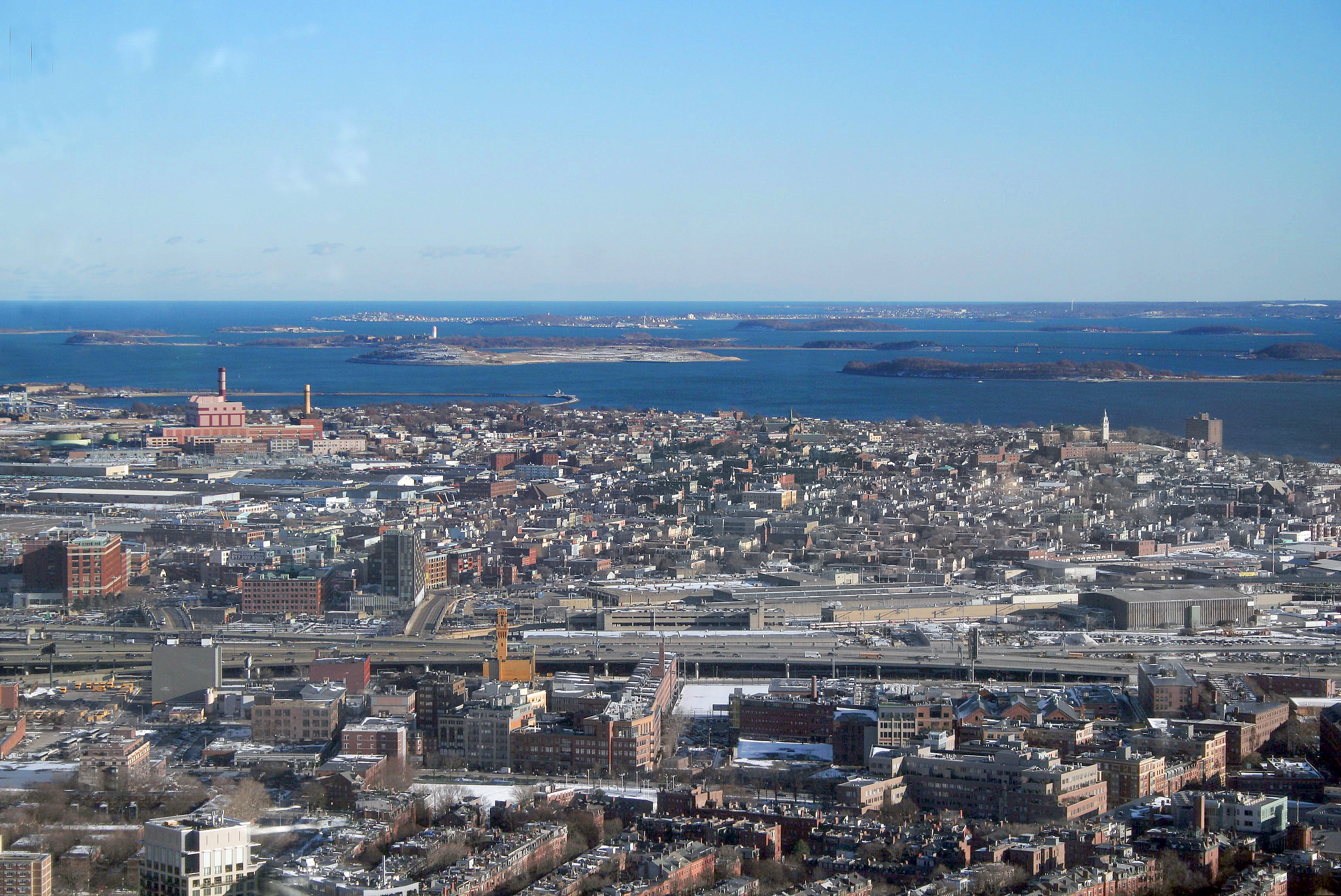
灯塔山
灯塔山(Beacon Hill)是美国波士顿一个古老的街区,连同后湾(Back Bay)共有约26,000人。这是一个由联邦式联排住宅组成的街区,以其煤气灯照明的狭窄街道和砖砌人行道著称。今天,灯塔山被视为波士顿最好、最昂贵的街区。 (Boston Common)和波士顿公共花园(Boston Public Garden)以北,大致南到灯塔街(Beacon Street),东到街(Somerset Street),北到剑桥街(Cambridge Street),西到查尔斯河河畔的 Storrow Drive。查尔斯..
灯塔山 Wikipedia頁面


關於我們的數據
本页面上的数据是使用许多公开可用的工具和资源估算的。它不附带任何担保,可能包含不准确之处。使用风险自负。