產業領域
Roxburgh按行业的企业分布
| 行業說明 | 機構數 |
|---|---|
| 企业管理 | 13 |
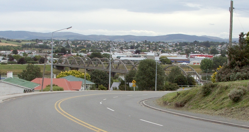
Roxburgh的地圖
互動地圖
Roxburgh的人口
1975年至2030年
| Data | 1975 | 1990 | 2000 | 2015 | 2020 | 2025* | 2030* |
|---|---|---|---|---|---|---|---|
| 人口 | 179 | 212 | 252 | 327 | 120 | 134 | 144 |
| 人口密度 | 409.1 / km² | 484.6 / km² | 576 / km² | 747.4 / km² | 274.3 / km² | 306.3 / km² | 329.1 / km² |
* 预测
来源: JRC (European Commission's Joint Research Centre) 工作于 GHS built-up gridRoxburgh从2000年到2020年的人口变化
从2000年到2020年下降了52.4%
| 位置 | 自1975以来的变化 | 自1990以来的变化 | 自2000以来的变化 |
|---|---|---|---|
| Roxburgh | -33% | -43.4% | -52.4% |
| 奥塔哥大区 | — | — | — |
| 新西兰 | — | — | — |
来源: JRC (European Commission's Joint Research Centre) 工作于 GHS built-up grid
Roxburgh的中位年龄
中位年龄:46.8岁
| 位置 | 年齡中位數 | 中位年齡(女) | 中位年齡(男) |
|---|---|---|---|
| Roxburgh | 46.8 yrs | 47.2 yrs | 46.3 yrs |
| 奥塔哥大区 | 38.8 yrs | 39.5 yrs | 38 yrs |
| 新西兰 | 37.9 yrs | 38.9 yrs | 36.9 yrs |
来源: CIESIN (Center for International Earth Science Information Network)
Roxburgh的人口密度
人口密度:274 / km²
| 位置 | 人口 | 區 | 密度 |
|---|---|---|---|
| Roxburgh | 120 | 0.438 km² | 274 / km² |
| 奥塔哥大区 | 215,607 | 38,478.4 km² | 5.6 / km² |
| 新西兰 | 4.4 million | 270,103.3 km² | 16.3 / km² |
来源: JRC (European Commission's Joint Research Centre) 工作于 GHS built-up grid
Roxburgh的历史和预测人口
从1200到2100的估计人口
来源:
- JRC (European Commission's Joint Research Centre) 工作于 GHS built-up grid
- CIESIN (Center for International Earth Science Information Network)
- [鏈接] Klein Goldewijk, K., Beusen, A., Doelman, J., and Stehfest, E.: Anthropogenic land use estimates for the Holocene – HYDE 3.2, Earth Syst. Sci. Data, 9, 927–953, https://doi.org/10.5194/essd-9-927-2017, 2017.
电话区号
Roxburgh的企業使用的區碼百分比
邮政编码
Roxburgh各邮政编码企业占比
价格分布
Roxburgh企業(按價格分佈)
人類發展指數(HDI)
預期壽命,教育程度和人均收入的統計綜合指數。
来源: [鏈接] Kummu, M., Taka, M. &Guillaume, J. Gridded global datasets for Gross Domestic Product and Human Development Index over 1990–2015. Sci Data 5, 180004 (2018) doi:10.1038/sdata.2018.4
Roxburgh的國內生產毛額(GDP)
人均GDP,購買力平價(2017年不變國際元)
| Data | 1990 | 1995 | 2000 | 2005 | 2010 | 2015 | 2020 | 2022 |
|---|---|---|---|---|---|---|---|---|
| 人均GDP | $11,783 | $13,587 | $13,257 | $19,436 | $21,277 | $20,320 | $22,645 | $23,479 |
| GDP總量 | $920万 | $1131.8万 | $1153.2万 | $1831万 | $2166.8万 | $2203.9万 | $2561.6万 | $2724.5万 |
来源: [鏈接] Kummu, M., Kosonen, M. & Masoumzadeh Sayyar, S. Downscaled gridded global dataset for gross domestic product (GDP) per capita PPP over 1990–2022. Sci Data 12, 178 (2025) doi:10.1038/s41597-025-04487-x
Roxburgh的CO2排放
每年人均二氧化碳(CO2)排放量(噸)
| 位置 | 二氧化碳排放量 | 人均二氧化碳排放量 | 二氧化碳排放強度 |
|---|---|---|---|
| Roxburgh | 1,087 tn | 9.06 tn | 2,485.5 tons/km² |
| 奥塔哥大区 | 1,696,568 tn | 7.87 tn | 44.1 tons/km² |
| 新西兰 | 37,929,206 tn | 8.61 tn | 140.4 tons/km² |
来源: [鏈接] Moran, D., Kanemoto K; Jiborn, M., Wood, R., Többen, J., and Seto, K.C. (2018) Carbon footprints of 13,000 cities. Environmental Research Letters DOI: 10.1088/1748-9326/aac72a
Roxburgh的CO2排放
| 2013年CO2排放量(吨/年) | 1,087 tn |
| 2013年人均CO2排放量(吨/年) | 9.06 tn |
| 2013年CO2排放强度(吨/km²/年) | 2,485.5 tons/km² |
自然災害風險
相對風險(滿分10分)
| 危险 | 风险级别 |
|---|---|
| 地震 | 中等 (7) |
| 滑坡 | 中等 (6) |
*風險可能並不涉及整個地區,尤其是洪水或山體滑坡。
来源:
- Dilley, M., R.S. Chen, U. Deichmann, A.L. Lerner-Lam, M. Arnold, J. Agwe, P. Buys, O. Kjekstad, B. Lyon, and G. Yetman. 2005. Natural Disaster Hotspots: A Global Risk Analysis. Washington, D.C.: World Bank. https://doi.org/10.1596/0-8213-5930-4.
- Center for Hazards and Risk Research - CHRR - Columbia University, Center for International Earth Science Information Network - CIESIN - Columbia University, and Norwegian Geotechnical Institute - NGI. 2005. Global Landslide Hazard Distribution. Palisades, NY: NASA Socioeconomic Data and Applications Center (SEDAC). https://doi.org/10.7927/H4P848VZ.
- Center for Hazards and Risk Research - CHRR - Columbia University, Center for International Earth Science Information Network - CIESIN - Columbia University. 2005. Global Earthquake Hazard Distribution - Peak Ground Acceleration. Palisades, NY: NASA Socioeconomic Data and Applications Center (SEDAC). https://doi.org/10.7927/H4BZ63ZS.
最近的附近地震
幅度3.0以上
| 日▼ | 時間↕ | Magnitude↕ | Distance↕ | 深度↕ | 位置↕ | 鏈接 |
|---|---|---|---|---|---|---|
| 7/1/17 | 11:21 PM | 4.1 | 60 km | 5,460 m | 34km SSE of Wanaka, New Zealand | usgs.gov |
| 6/1/15 | 11:18 AM | 4.3 | 66.6 km | 8,990 m | 33km WNW of Dunedin, New Zealand | usgs.gov |
| 10/16/14 | 5:44 AM | 4.1 | 69.9 km | 4,000 m | 29km WNW of Dunedin, New Zealand | usgs.gov |
| 2/6/11 | 12:52 AM | 4.1 | 94.8 km | 12,000 m | South Island of New Zealand | usgs.gov |
| 9/26/07 | 12:31 AM | 3.9 | 84.8 km | 12,000 m | South Island of New Zealand | usgs.gov |
| 12/24/04 | 8:44 AM | 3.9 | 71 km | 12,000 m | South Island of New Zealand | usgs.gov |
| 2/11/04 | 12:31 AM | 4.5 | 71.4 km | 12,000 m | South Island of New Zealand | usgs.gov |
| 6/30/03 | 4:23 PM | 3.8 | 22.3 km | 21,000 m | South Island of New Zealand | usgs.gov |
| 3/29/02 | 5:30 AM | 4 | 64 km | 12,000 m | South Island of New Zealand | usgs.gov |
| 10/12/00 | 8:40 AM | 4.5 | 98.9 km | 31,000 m | South Island of New Zealand | usgs.gov |


關於我們的數據
本页面上的数据是使用许多公开可用的工具和资源估算的。它不附带任何担保,可能包含不准确之处。使用风险自负。