產業領域
興實達按行业的企业分布
| 行業說明 | 機構數 | Google平均評分 |
|---|---|---|
| 商场 | 5 | 3.8 |
興實達事实
| 區 | 6.1 km² |
| 人口 | 137,266 |
| 男性人口 | 64,770 (47.2%) |
| 女性人口 | 72,496 (52.8%) |
| 人口变化(1975 to 2020) | +927.3% |
| 人口变化(2000 to 2020) | +14.4% |
| 年齡中位數 | 30.6岁 (男:29.2,女:31.8) |
| 电话区号 | 44 |
| 鄰近社區 | Dawbon, kyangyin |
| 當地時間 | |
| 時區 | 缅甸时间 |
| 經度與緯度 | 17.64944, 95.45705 |
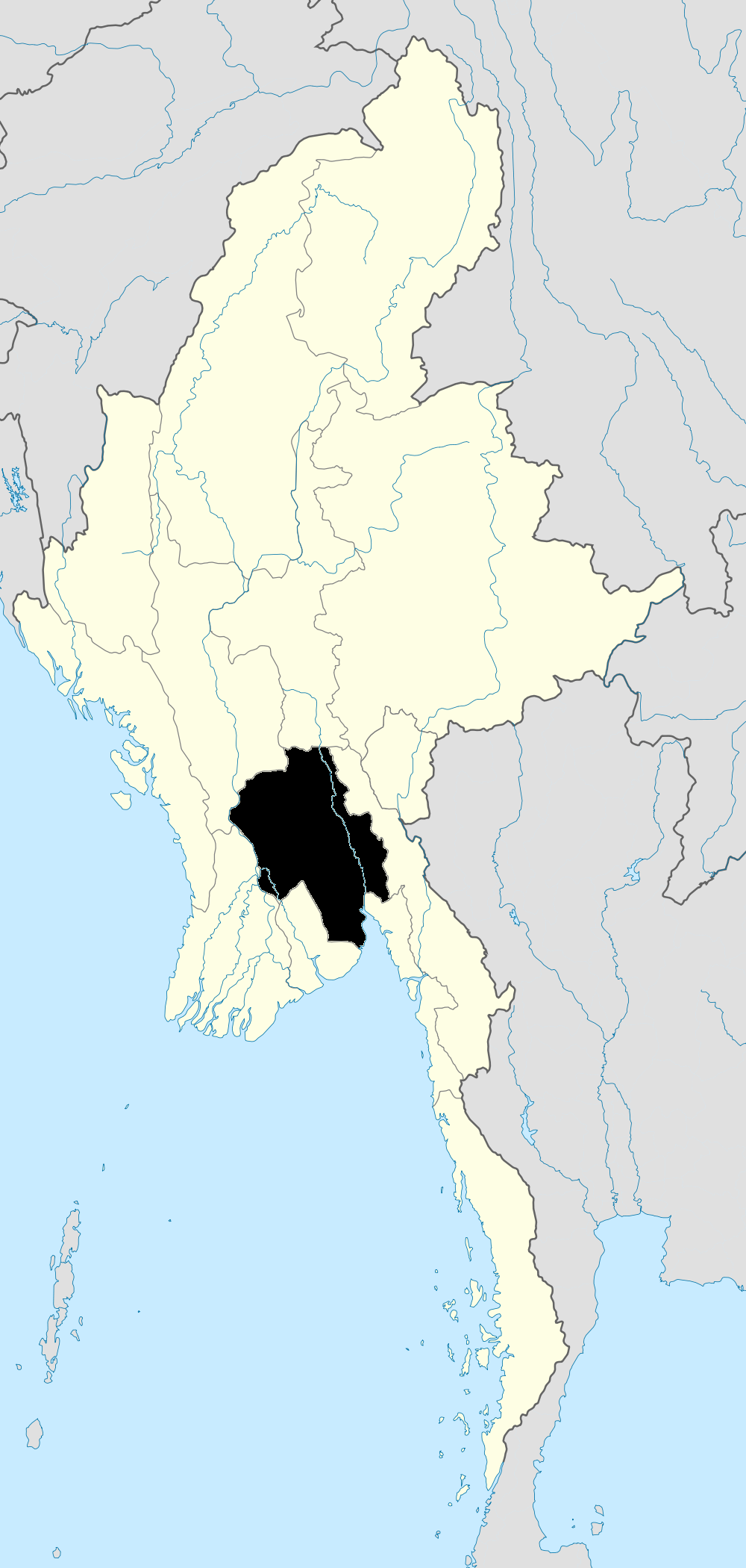
興實達的地圖
互動地圖
興實達的人口
1975年至2020年
| Data | 1975 | 1990 | 2000 | 2015 | 2020 |
|---|---|---|---|---|---|
| 人口 | 13,362 | 74,960 | 120,020 | 134,263 | 137,266 |
| 人口密度 | 2,204 / km² | 12,364.5 / km² | 19,797.1 / km² | 22,146.5 / km² | 22,641.8 / km² |
来源: JRC (European Commission's Joint Research Centre) 工作于 GHS built-up grid
興實達从2000年到2015年的人口变化
从2000年到2015年增长了11.9%
| 位置 | 自1975以来的变化 | 自1990以来的变化 | 自2000以来的变化 |
|---|---|---|---|
| 興實達 | +904.8% | +79.1% | +11.9% |
| 伊洛瓦底省 | +995.3% | +91.7% | +17.6% |
| 缅甸 | +73.5% | +27.5% | +12.8% |
来源: JRC (European Commission's Joint Research Centre) 工作于 GHS built-up grid
興實達的中位年龄
中位年龄:30.6岁
| 位置 | 年齡中位數 | 中位年齡(女) | 中位年齡(男) |
|---|---|---|---|
| 興實達 | 30.6 yrs | 31.8 yrs | 29.2 yrs |
| 伊洛瓦底省 | 27.7 yrs | 28.5 yrs | 26.9 yrs |
| 缅甸 | 27.2 yrs | 28.2 yrs | 26.1 yrs |
来源: CIESIN (Center for International Earth Science Information Network)
興實達的人口密度
人口密度:22,642 / km²
| 位置 | 人口 | 區 | 密度 |
|---|---|---|---|
| 興實達 | 137,266 | 6.1 km² | 22,642 / km² |
| 伊洛瓦底省 | 6.5 million | 34,177.7 km² | 191 / km² |
| 缅甸 | 53.1 million | 668,905 km² | 79.4 / km² |
来源: JRC (European Commission's Joint Research Centre) 工作于 GHS built-up grid
興實達的历史和预测人口
从1860到2100的估计人口
来源:
- JRC (European Commission's Joint Research Centre) 工作于 GHS built-up grid
- CIESIN (Center for International Earth Science Information Network)
- [鏈接] Klein Goldewijk, K., Beusen, A., Doelman, J., and Stehfest, E.: Anthropogenic land use estimates for the Holocene – HYDE 3.2, Earth Syst. Sci. Data, 9, 927–953, https://doi.org/10.5194/essd-9-927-2017, 2017.
电话区号
興實達的企業使用的區碼百分比
人類發展指數(HDI)
預期壽命,教育程度和人均收入的統計綜合指數。
来源: [鏈接] Kummu, M., Taka, M. &Guillaume, J. Gridded global datasets for Gross Domestic Product and Human Development Index over 1990–2015. Sci Data 5, 180004 (2018) doi:10.1038/sdata.2018.4
興實達的CO2排放
每年人均二氧化碳(CO2)排放量(噸)
| 位置 | 二氧化碳排放量 | 人均二氧化碳排放量 | 二氧化碳排放強度 |
|---|---|---|---|
| 興實達 | 28,176 tn | 0.21 tn | 4,647.6 tons/km² |
| 伊洛瓦底省 | 1,268,152 tn | 0.19 tn | 37.1 tons/km² |
| 缅甸 | 11,664,181 tn | 0.22 tn | 17.4 tons/km² |
来源: [鏈接] Moran, D., Kanemoto K; Jiborn, M., Wood, R., Többen, J., and Seto, K.C. (2018) Carbon footprints of 13,000 cities. Environmental Research Letters DOI: 10.1088/1748-9326/aac72a
興實達的CO2排放
| 2013年CO2排放量(吨/年) | 28,176 tn |
| 2013年人均CO2排放量(吨/年) | 0.21 tn |
| 2013年CO2排放强度(吨/km²/年) | 4,647.6 tons/km² |
自然災害風險
Relative risk out of 10
| 危险 | Risk Level |
|---|---|
| Drought | High (10) |
| Earthquake | Medium (4) |
* Risk, particularly concerning flood or landslide, may not be for the entire area.
来源:
- Dilley, M., R.S. Chen, U. Deichmann, A.L. Lerner-Lam, M. Arnold, J. Agwe, P. Buys, O. Kjekstad, B. Lyon, and G. Yetman. 2005. Natural Disaster Hotspots: A Global Risk Analysis. Washington, D.C.: World Bank. https://doi.org/10.1596/0-8213-5930-4.
- Center for Hazards and Risk Research - CHRR - Columbia University, Center for International Earth Science Information Network - CIESIN - Columbia University, and International Research Institute for Climate and Society - IRI - Columbia University. 2005. Global Drought Hazard Frequency and Distribution. Palisades, NY: NASA Socioeconomic Data and Applications Center (SEDAC). https://doi.org/10.7927/H4VX0DFT.
- Center for Hazards and Risk Research - CHRR - Columbia University, Center for International Earth Science Information Network - CIESIN - Columbia University. 2005. Global Earthquake Hazard Distribution - Peak Ground Acceleration. Palisades, NY: NASA Socioeconomic Data and Applications Center (SEDAC). https://doi.org/10.7927/H4BZ63ZS.
最近的附近地震
幅度3.0以上
| 日▼ | 時間↕ | Magnitude↕ | Distance↕ | 深度↕ | 位置↕ | 鏈接 |
|---|---|---|---|---|---|---|
| 6/18/19 | 4:28 AM | 4.8 | 76.2 km | 16,190 m | 41km ENE of Letpandan, Burma | usgs.gov |
| 2/17/19 | 8:22 AM | 4.1 | 94.4 km | 35,000 m | 46km W of Myanaung, Burma | usgs.gov |
| 1/28/19 | 3:52 AM | 4.5 | 92.9 km | 27,660 m | 45km SW of Pyu, Burma | usgs.gov |
| 6/17/18 | 1:21 PM | 5 | 94.9 km | 10,000 m | 44km WSW of Pyu, Burma | usgs.gov |
| 4/22/18 | 6:31 PM | 4.9 | 90.1 km | 10,000 m | 49km WSW of Pyu, Burma | usgs.gov |
| 4/10/18 | 3:17 AM | 4.3 | 87 km | 37,490 m | 53km WSW of Pyu, Burma | usgs.gov |
| 2/7/18 | 4:38 PM | 4.1 | 93.5 km | 10,000 m | 45km SW of Pyu, Burma | usgs.gov |
| 1/22/18 | 7:37 AM | 4.7 | 95.9 km | 10,000 m | 44km WSW of Pyu, Burma | usgs.gov |
| 1/11/18 | 10:30 PM | 4.3 | 97.6 km | 10,000 m | 43km WSW of Pyu, Burma | usgs.gov |
| 1/11/18 | 6:55 PM | 4.7 | 97.4 km | 10,000 m | 46km WSW of Pyu, Burma | usgs.gov |
興實達
興實達(缅甸语:ဟင်္သာတမြို့;英语:Hinthada)為緬甸伊洛瓦底省興實達縣興實達鎮的城市,位於伊洛瓦底江附近。1983年的人口調查中興實達人口為82,005人,而2014年興實達人口成長到83,762人。當地種植的稻米及穀物可經由興實達港來進行貿易。
興實達 Wikipedia頁面

關於我們的數據
本页面上的数据是使用许多公开可用的工具和资源估算的。它不附带任何担保,可能包含不准确之处。使用风险自负。