產業領域
Huntingdon按行业的企业分布
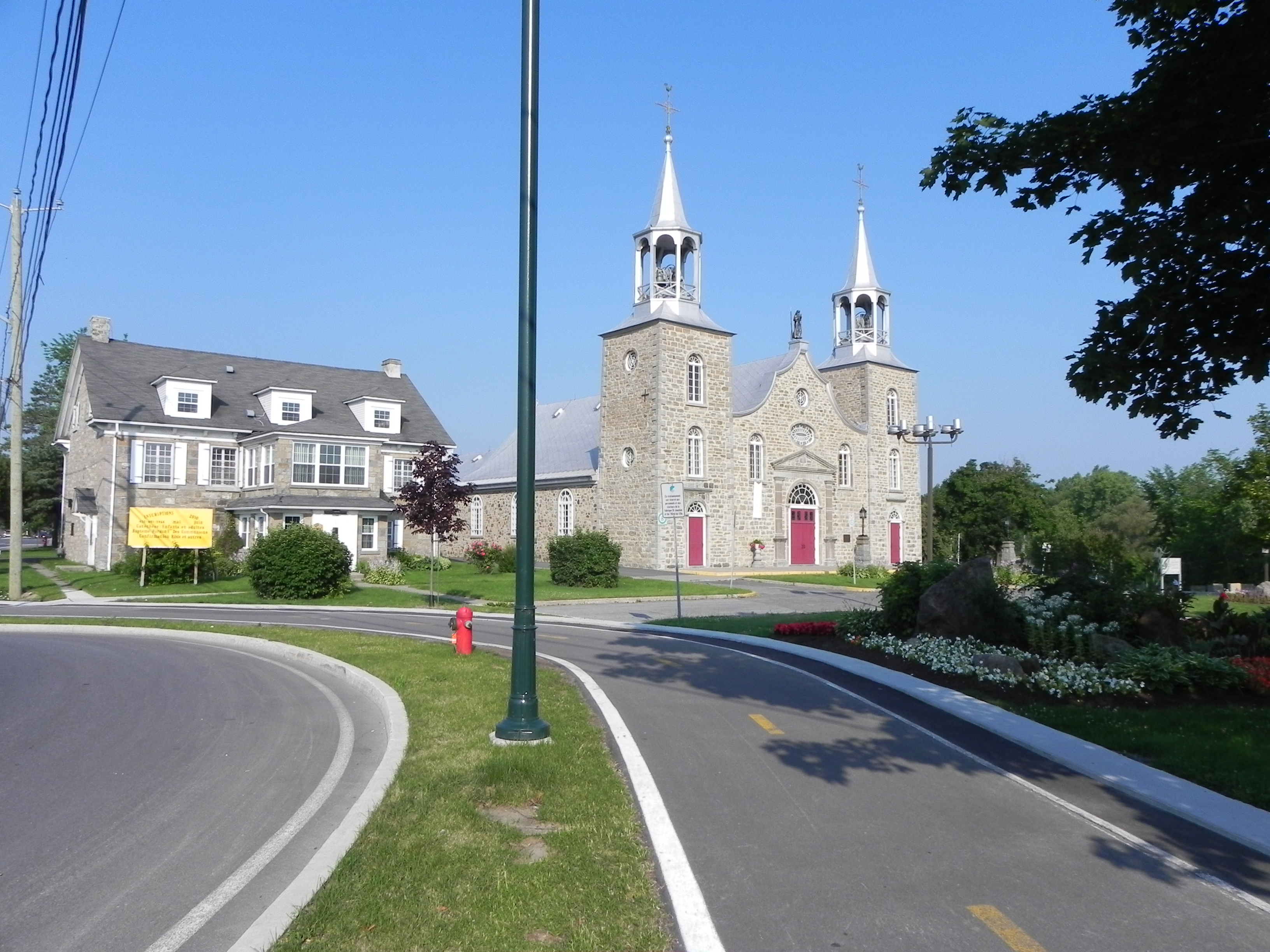
Huntingdon的地圖
互動地圖
Huntingdon的人口
1975年至2020年
| Data | 1975 | 1990 | 2000 | 2015 | 2020 |
|---|---|---|---|---|---|
| 人口 | 3,089 | 2,900 | 2,710 | 2,413 | 2,551 |
| 人口密度 | 1,051.6 / km² | 987.2 / km² | 922.6 / km² | 821.4 / km² | 868.4 / km² |
来源: JRC (European Commission's Joint Research Centre) 工作于 GHS built-up grid
Huntingdon从2000年到2015年的人口变化
从2000年到2015年下降了11%
| 位置 | 自1975以来的变化 | 自1990以来的变化 | 自2000以来的变化 |
|---|---|---|---|
| Huntingdon | -21.9% | -16.8% | -11% |
| 魁北克 | +42.5% | +22.6% | +12.9% |
| 加拿大 | +55.8% | +30.2% | +17.2% |
来源: JRC (European Commission's Joint Research Centre) 工作于 GHS built-up grid
Huntingdon的中位年龄
中位年龄:47岁
| 位置 | 年齡中位數 | 中位年齡(女) | 中位年齡(男) |
|---|---|---|---|
| Huntingdon | 47 yrs | 49.5 yrs | 44.5 yrs |
| 魁北克 | 42.2 yrs | 43.2 yrs | 41.1 yrs |
| 加拿大 | 40.6 yrs | 41.5 yrs | 39.6 yrs |
来源: CIESIN (Center for International Earth Science Information Network)
Huntingdon的人口密度
人口密度:868 / km²
| 位置 | 人口 | 區 | 密度 |
|---|---|---|---|
| Huntingdon | 2,551 | 2.938 km² | 868 / km² |
| 魁北克 | 7 million | 1,519,626.9 km² | 4.6 / km² |
| 加拿大 | 35.5 million | 9,875,295.4 km² | 3.6 / km² |
来源: JRC (European Commission's Joint Research Centre) 工作于 GHS built-up grid
Huntingdon的历史和预测人口
从1710到2100的估计人口
来源:
- JRC (European Commission's Joint Research Centre) 工作于 GHS built-up grid
- CIESIN (Center for International Earth Science Information Network)
- [鏈接] Klein Goldewijk, K., Beusen, A., Doelman, J., and Stehfest, E.: Anthropogenic land use estimates for the Holocene – HYDE 3.2, Earth Syst. Sci. Data, 9, 927–953, https://doi.org/10.5194/essd-9-927-2017, 2017.
价格分布
Huntingdon企業(按價格分佈)
人類發展指數(HDI)
預期壽命,教育程度和人均收入的統計綜合指數。
来源: [鏈接] Kummu, M., Taka, M. &Guillaume, J. Gridded global datasets for Gross Domestic Product and Human Development Index over 1990–2015. Sci Data 5, 180004 (2018) doi:10.1038/sdata.2018.4
Huntingdon的CO2排放
每年人均二氧化碳(CO2)排放量(噸)
| 位置 | 二氧化碳排放量 | 人均二氧化碳排放量 | 二氧化碳排放強度 |
|---|---|---|---|
| Huntingdon | 34,016 tn | 13.33 tn | 11,579.8 tons/km² |
| 魁北克 | 96,902,370 tn | 13.87 tn | 63.8 tons/km² |
| 加拿大 | 521,999,336 tn | 14.7 tn | 52.9 tons/km² |
来源: [鏈接] Moran, D., Kanemoto K; Jiborn, M., Wood, R., Többen, J., and Seto, K.C. (2018) Carbon footprints of 13,000 cities. Environmental Research Letters DOI: 10.1088/1748-9326/aac72a
Huntingdon的CO2排放
| 2013年CO2排放量(吨/年) | 34,016 tn |
| 2013年人均CO2排放量(吨/年) | 13.33 tn |
| 2013年CO2排放强度(吨/km²/年) | 11,579.8 tons/km² |
自然災害風險
Relative risk out of 10
| 危险 | Risk Level |
|---|---|
| Earthquake | Medium (6) |
| Cyclone | Medium (5) |
* Risk, particularly concerning flood or landslide, may not be for the entire area.
来源:
- Dilley, M., R.S. Chen, U. Deichmann, A.L. Lerner-Lam, M. Arnold, J. Agwe, P. Buys, O. Kjekstad, B. Lyon, and G. Yetman. 2005. Natural Disaster Hotspots: A Global Risk Analysis. Washington, D.C.: World Bank. https://doi.org/10.1596/0-8213-5930-4.
- Center for Hazards and Risk Research - CHRR - Columbia University, Center for International Earth Science Information Network - CIESIN - Columbia University, International Bank for Reconstruction and Development - The World Bank, and United Nations Environment Programme Global Resource Information Database Geneva - UNEP/GRID-Geneva. 2005. Global Cyclone Hazard Frequency and Distribution. Palisades, NY: NASA Socioeconomic Data and Applications Center (SEDAC). https://doi.org/10.7927/H4CZ353K.
- Center for Hazards and Risk Research - CHRR - Columbia University, Center for International Earth Science Information Network - CIESIN - Columbia University. 2005. Global Earthquake Hazard Distribution - Peak Ground Acceleration. Palisades, NY: NASA Socioeconomic Data and Applications Center (SEDAC). https://doi.org/10.7927/H4BZ63ZS.
最近的附近地震
幅度3.0以上
| 日▼ | 時間↕ | Magnitude↕ | Distance↕ | 深度↕ | 位置↕ | 鏈接 |
|---|---|---|---|---|---|---|
| 11/28/15 | 5:16 AM | 3.23 | 46 km | 5,000 m | 4km S of Cornwall, Canada | usgs.gov |
| 7/15/15 | 10:00 PM | 3.27 | 52.6 km | 10,230 m | 13km SSE of Hawkesbury, Canada | usgs.gov |
| 11/6/12 | 9:05 AM | 3.74 | 68.6 km | 11,070 m | Ontario-Quebec border region, Canada | usgs.gov |
| 8/24/11 | 5:14 PM | 3.19 | 45.6 km | 5,000 m | New York | usgs.gov |
| 3/16/11 | 5:36 PM | 3.87 | 66 km | 10,000 m | Ontario-Quebec border region, Canada | usgs.gov |
| 2/28/10 | 3:51 AM | 3.41 | 75 km | 7,370 m | Ontario-Quebec border region, Canada | usgs.gov |
| 8/30/07 | 3:47 AM | 3.23 | 85.8 km | 2,230 m | New York | usgs.gov |
| 2/26/06 | 4:09 AM | 3.19 | 65.5 km | 13,540 m | Ontario-Quebec border region, Canada | usgs.gov |
| 1/9/06 | 3:35 PM | 3.72 | 23.3 km | 12,690 m | southern Quebec, Canada | usgs.gov |
| 4/8/03 | 3:06 PM | 3.7 | 53.8 km | 10,000 m | New York | usgs.gov |


關於我們的數據
本页面上的数据是使用许多公开可用的工具和资源估算的。它不附带任何担保,可能包含不准确之处。使用风险自负。